

We fly your right-of-way and hand back every inspection you are required to file.
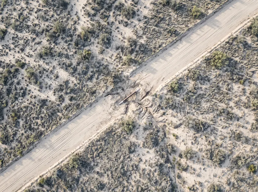
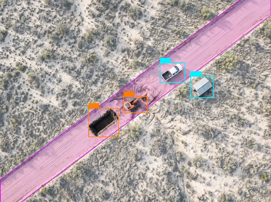
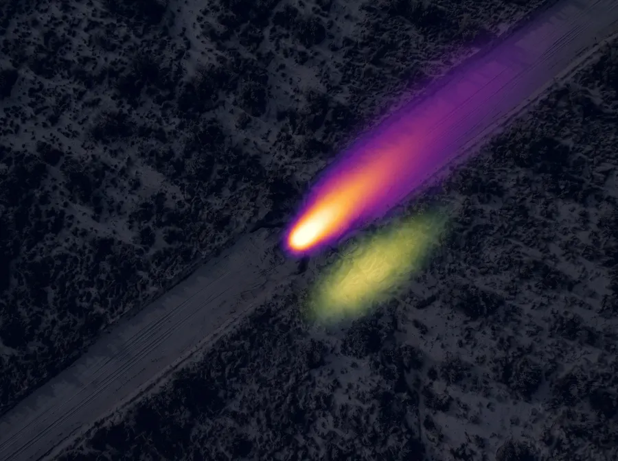
One pass returns the imagery, the encroachment findings, the leak signatures and the terrain model. Georeferenced to the milepost, in the formats your GIS already reads.
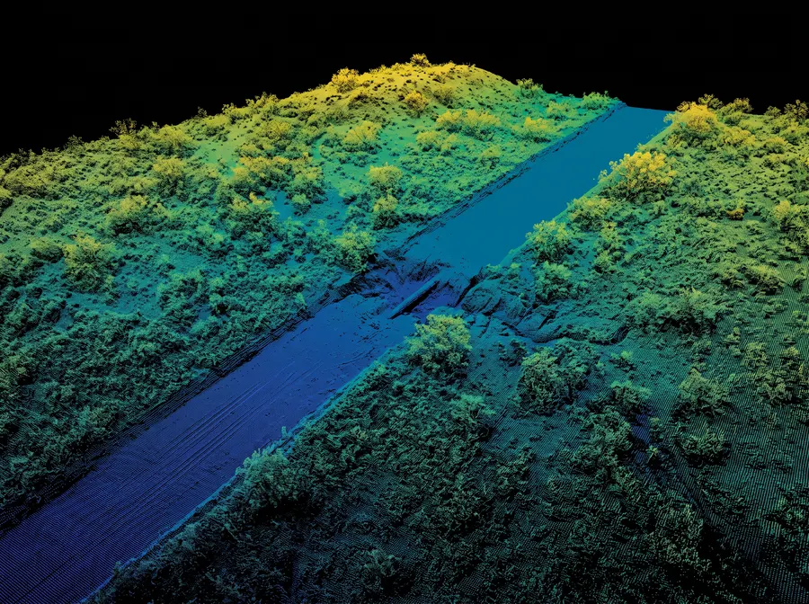
Quicker
Critical findings are located within 30s of detection
Less expensive
There is no pilot or operator involved, so there is no overhead cost or hull risk
Safer
There is no crew in the air over the right-of-way
More accurate
Every mile is measured the same way, and analysis is automated
From install to filed report.
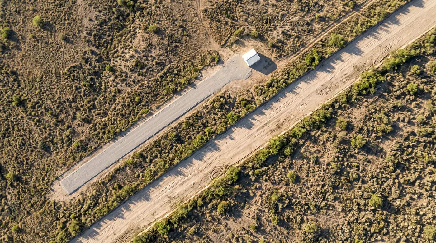
We install the dock.
A dock is installed beside the line with the airplane and its sensors inside. This is a one-time setup, and the airplane is ready to fly once it's installed.
You task the aircraft.
The aircraft flies itself at defined intervals, and you can monitor its progress in real-time.
You receive the report.
Findings are located, classified and reported in your desired format.
Line 4 — right-of-way inspection
- Operator
- —
- Segment
- MP 108.0 – 128.4
- Flown
- 20.4 mi · 1 pass
- Method
- Unmanned aerial patrol
A fixed-wing aircraft built for corridor work.
It flies itself from take-off to landing and stays up for five hours, which covers 500 miles of line without anyone touching the controls.
- Endurance
- 5 hours
- Range
- 500 miles
- All-up weight
- 50 lb
- Launch & Recovery
- Dock
Fully autonomous, from takeoff to landing.
- *
- Five dollars a mile covers RGB capture. Additional layers are priced separately.
- †
- Thirty seconds applies to immediate threats. Other finding classes follow your alerting configuration.
Run a pilot on one line.
We have the required Part 107 certification and provide the crew, so you don't need to handle any hiring or licensing. Simply give us your location, and we'll take care of the rest. Most clients begin with a pilot on one line, and expand once they're satisfied with the results.
Start a pilot- You give us
- The location of the line and the interval you want to fly it.
- We bring
- The airplane, a Part 107 crew and the sensors the job calls for.
- You get back
- Imagery, encroachment, leak and terrain data from that single flight.
Request a pilot today.
Share your location and we'll get you a pilot started.